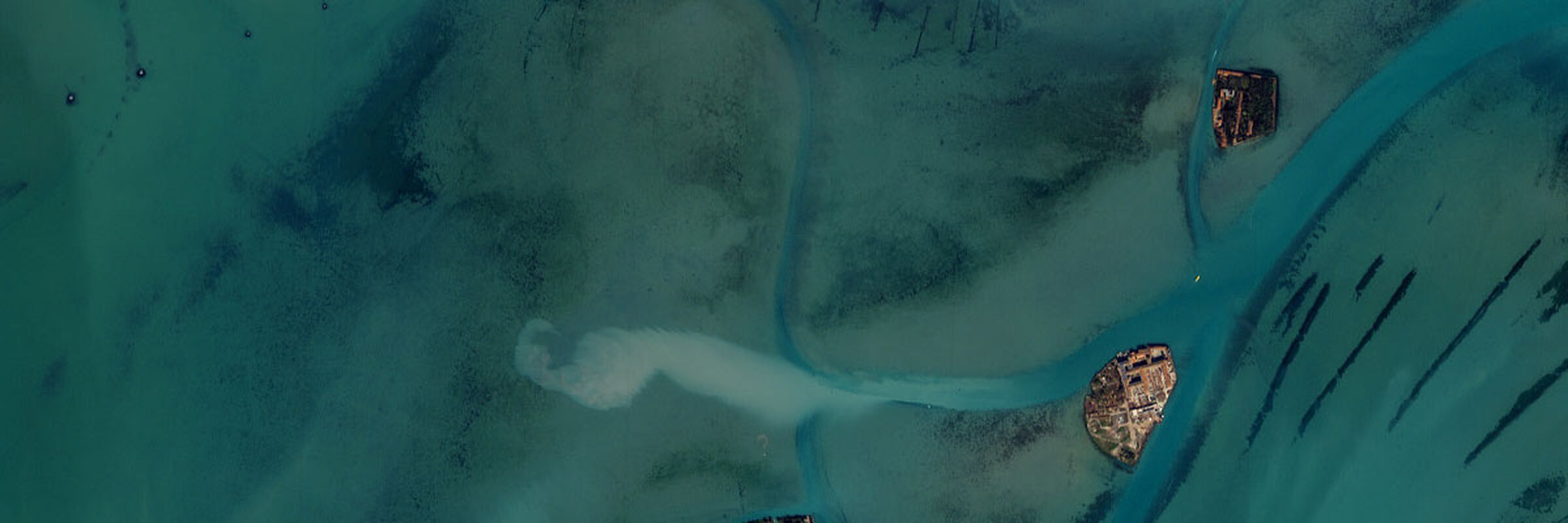
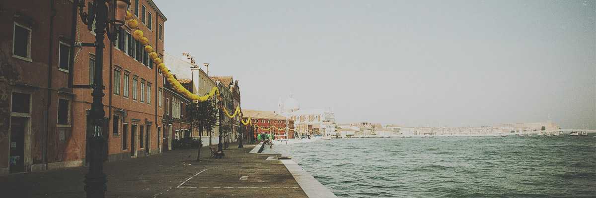
The shape of Venice, reminiscent of a fish, is a group of islands and islets connected by bridges, the city's real connecting links: It is thanks to them that we can enjoy an extensive pedestrian area where we can easily walk from one neighbourhood to another, instead of by boat as was once the case (today, the memory of this is partly kept alive thanks to the gondola ferries that take you from one bank to the other).
If we extend the radius to all the other islands, in this case reachable only by water, we can appreciate the immense heritage of history, culture, arts, crafts and biodiversity that only this unique place in the world offers.
All the islands have in fact actively participated in the Venetian economy and the balance of the lagoon. And they still do today.
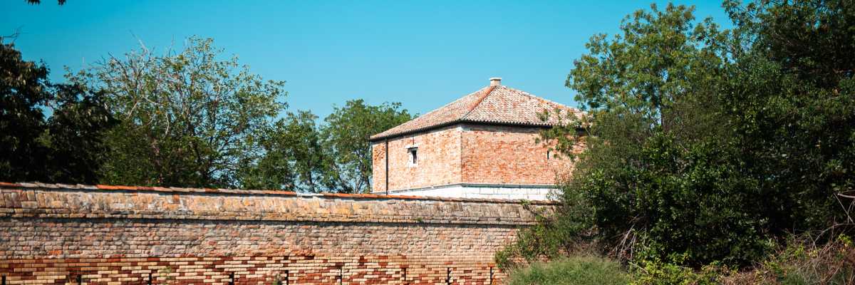
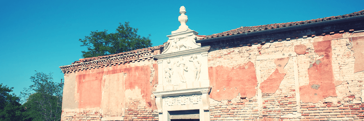
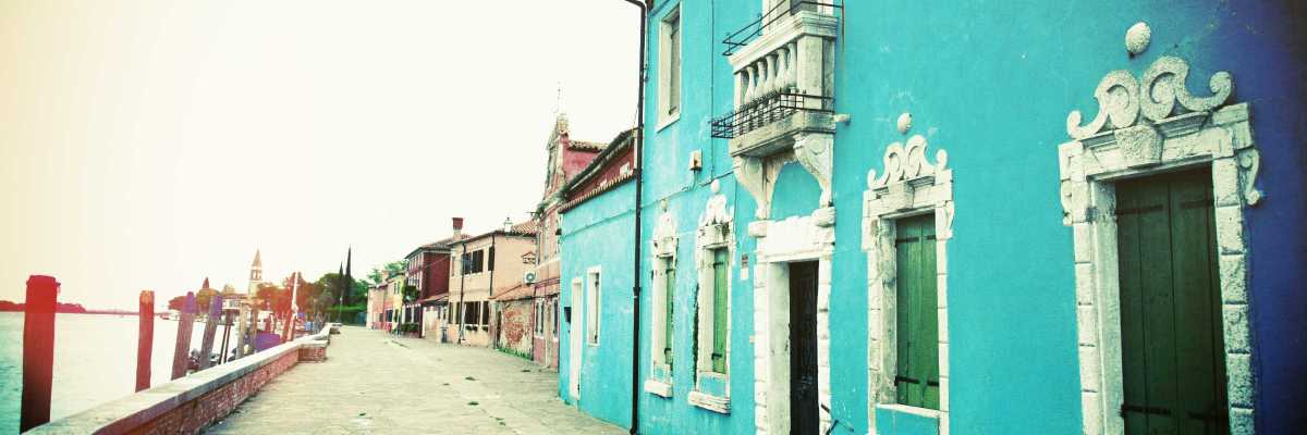
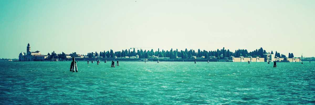
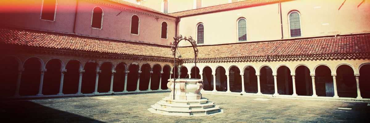
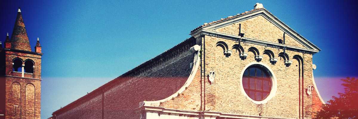
Places used, in the past as today, for the most varied purposes: city vegetable gardens (the island of Sant'Erasmo is still an active example of this), places of worship (such as San Francesco del deserto), hospitals and places designed for the containment of diseases (such as Lazzaretto Vecchio, Nuovo and San Servolo), places where production facilities were decentralised (such as Murano, for glass production, Burano for lace making, or the various salt pans), together with all the military fortifications defending the lagoon, such as the various octagons or the Lido itself, and the city cemetery of San Michele.
There would be no lagoon if it weren't for the two strips of land protecting it from the sea: Lido and Pellestrina.
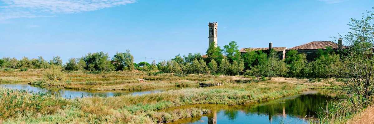
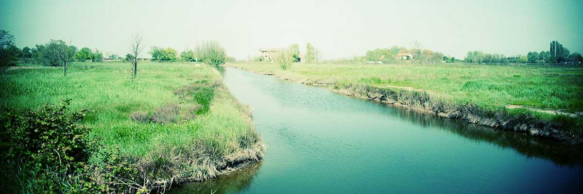
If we then look at the map, and virtually sail from Chioggia to Jesolo, we see that there are numerous fishing valleys, wetlands and areas used for salt production, including Valle Averto, Valle Millecampi, Lio Piccolo, Mesole, Saccagnana and Lio Maggiore.
Today these places are also authentic and precious naturalistic and landscape jewels.
There are also numerous archaeological finds of Roman and non-Roman origin in the lagoon waters and lands, which testify to how the territory was already lively in ancient times, with populations that we would today define as authentically resilient.
A dynamic environment in continuous transformation, both by natural and human ‘hands’, whose balance must be safeguarded with extreme care, dedication and attention.
An environment extremely rich in biodiversity, where even the way people speak shows differences, sometimes between islands, sometimes between neighbourhoods, but all connected by a common and primordial element: water.
An environment where the word ‘sustainability’ has had — and has — a particularly vivid meaning.
In Venipedia, in order to better understand their geographic location within the lagoon, we have adopted a method of classification into 3 areas in our encyclopaedic pages:
- Northern Lagoon, or all those from Venice towards Jesolo;
- Venice and neighbouring areas, to indicate the islands immediately close to the city (for example San Giorgio Maggiore or la Giudecca);
- Southern Lagoon, all those from Venice towards Chioggia.
